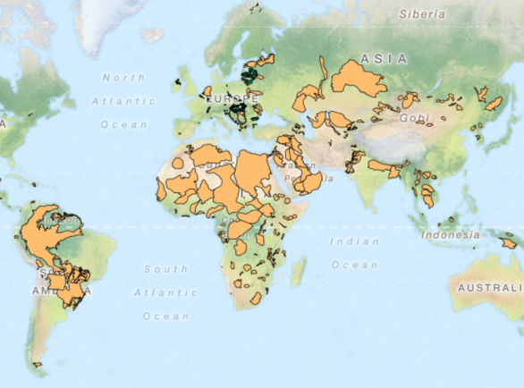
The GGIS provides access to the online versions of the Transboundary Aquifers of the World Map. The TBA map 2015, the most recent edition of the map, is based on the most recent results of an inventory of many projects carried out around the world. It contains information on the occurrence and extent of transboundary aquifers.
For more information on transboundary aquifers, including PDF versions of all previous TBA Maps, please visit the Transboundary Groundwaters focal area page.


