

Political, institutional, socio-economic, cultural and other differences among countries make the assessment and management of internationally shared aquifers challenging. As a United Nation centre, IGRAC provides an independent content and process support to assessment of transboundary aquifers. That is the main IGRAC activity.
The major transboundary aquifer assessment activities at IGRAC are carried out within the framework of ISARM - the Internationally Shared Aquifer Resource Management programme (www.isarm.org). Most of the transboundary groundwater assessments are supported by the Global Environment Facility (GEF) and/or national development agencies. In the framework of the GEF TWAP project, the global baseline assessment of transboundary aquifers is carried out. In some other projects (e.g. GGRETA, supported by SDC - Swiss Development Cooperation), detailed aquifer assessment is performed. Important contribution to transboundary aquifer assessment is also provided through regional assessments led by regional organisations such as UNECE, ESCWA, OAS, OSS, SADC and others. The outcomes of all available transboundary aquifers mappings are compiled by IGRAC into the Transboundary Aquifers of the World map. The map is updated on regular basis. Recently, UNESCO-IHP and IGRAC compiled various assessment methodology experiences in a draft Guidelines for Multi-Disciplinary Assessment of Transboundary Aquifers. The guidelines make the core document of the ISARM training material that is currently under preparation.
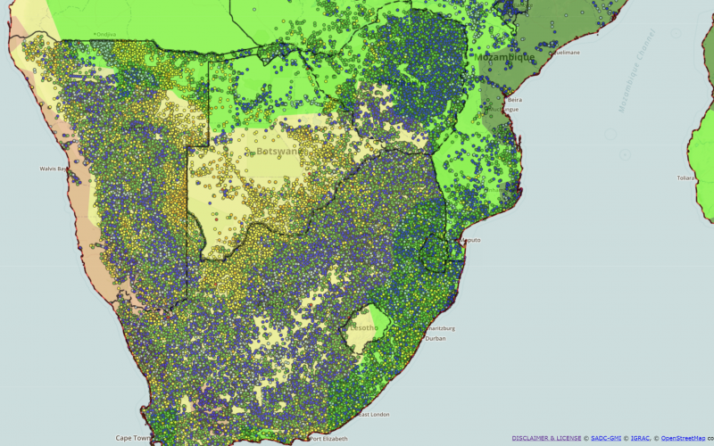
Transboundary Aquifers of the World
The 2015 Map of Transboundary Aquifers of the World (2015 TBA Map) shows the information presently available on the occurrence and extent of Transboundary Aquifers worldwide. There are now 366 identified transboundary aquifers and 226 transboundary ‘groundwater bodies' (as defined in the European Union Water Framework Directive) underlying almost every nation state.
The map is based on the most recent results of an inventory of many projects of many projects carried out around the world. This 2015 special edition includes a series of three thematic maps which overlay the Transboundary Aquifers of the World. The TBA Map is also available online at IGRAC's Global Groundwater Information System (GGIS).
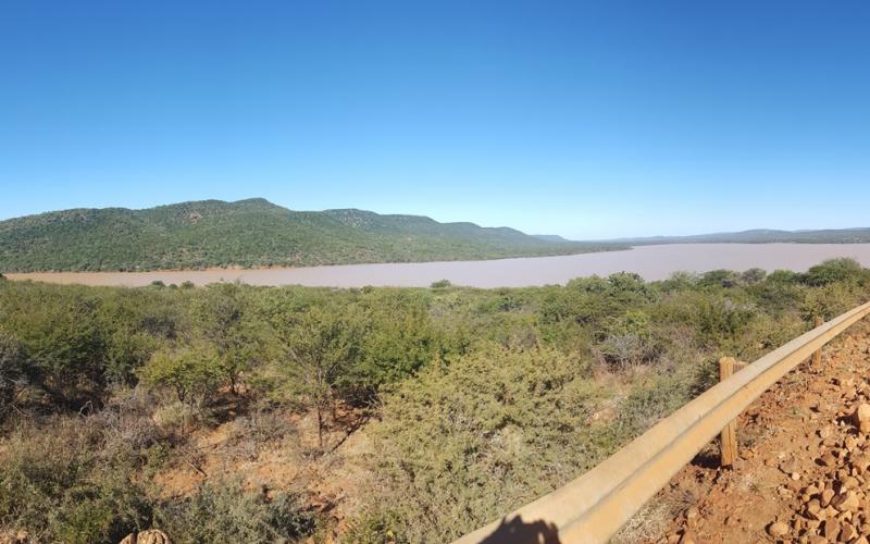
![Stampriet fieldwork [Credit Kirstin Conti (former IGRAC staff)]](/sites/default/files/styles/related_projects/public/2020-02/2015_Stampriet_Fieldwork-Kirstin_Borehole1.jpg?itok=HgfOj11C)

")
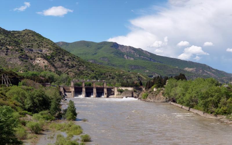
![Well in the Desert [credit: Christoph Rupprecht | https://bit.ly/3TdGroI]](/sites/default/files/styles/related_projects/public/overview_images/CC_Well%20in%20the%20Desert_By-Christoph%20Rupprecht_1.jpg?itok=kKfjf2lU)

